Authorities in China announced an expanded national program to chart vast sections of the ocean floor, presenting the initiative as a scientific and security effort aimed at improving underwater awareness. Officials said advanced survey vessels, autonomous submersibles, and high resolution sonar will support detailed seabed models that inform navigation planning, environmental research, and maritime infrastructure development nationwide initiatives.
The program, led by China agencies and research institutes, seeks denser bathymetric coverage across strategic waters and commercial routes. Planners described multi year missions combining crewed expeditions with persistent robotic platforms. Data integration centers will fuse acoustic readings, sediment samples, and satellite inputs to generate precise terrain maps for civilian and defense stakeholders across varied operational environments nationwide.
At a briefing in Beijing, officials highlighted investments in deep sea engineering, sensor calibration, and data governance frameworks. They said standardized protocols will enable interoperability among universities, state laboratories, and naval units. The approach prioritizes accuracy, redundancy, and secure storage to ensure datasets remain reliable for long term modeling and mission planning across diverse maritime operating conditions globally.
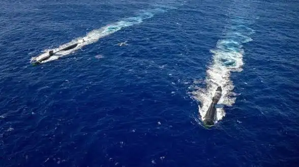
Military analysts note that enhanced seabed knowledge can improve submarine routing, acoustic concealment, and undersea sensor placement. Commentators referenced planning documents linked to the People’s Liberation Army Navy that emphasize domain awareness beneath the surface. Officials did not discuss operational specifics, stressing dual use benefits spanning disaster response, cable protection, and resource management for national development priorities alike.
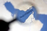
Regional observers say mapping density is increasing along heavily transited corridors, including parts of the South China Sea. Shipping groups welcomed improved charting for safety and efficiency, while policy specialists cautioned that sensitive areas require confidence building measures. Environmental researchers highlighted opportunities to monitor habitats, sediment flows, and climate linked ocean ces using interoperable open science platforms widely.
Technology firms participating in procurement processes outlined next generation sonar arrays, quieter propulsion for survey craft, and machine learning pipelines for anomaly detection. Academic partners described training programs to expand oceanography talent and data stewardship ss. Budget documents signal sustained funding, subject to legislative oversight and performance audits tied to measurable mapping milestones across prioritized maritime regions nationwide.
Diplomats said transparency around scientific objectives could reduce misunderstandings as maritime competition intensifies. They encouraged information sharing through multilateral forums and adherence to international maritime law. Analysts concluded that seabed intelligence will remain strategically significant, influencing navigation safety, infrastructure resilience, and defense planning as ocean domains grow central to economic and security agendas for regional and global stakeholders.


Leave a comment